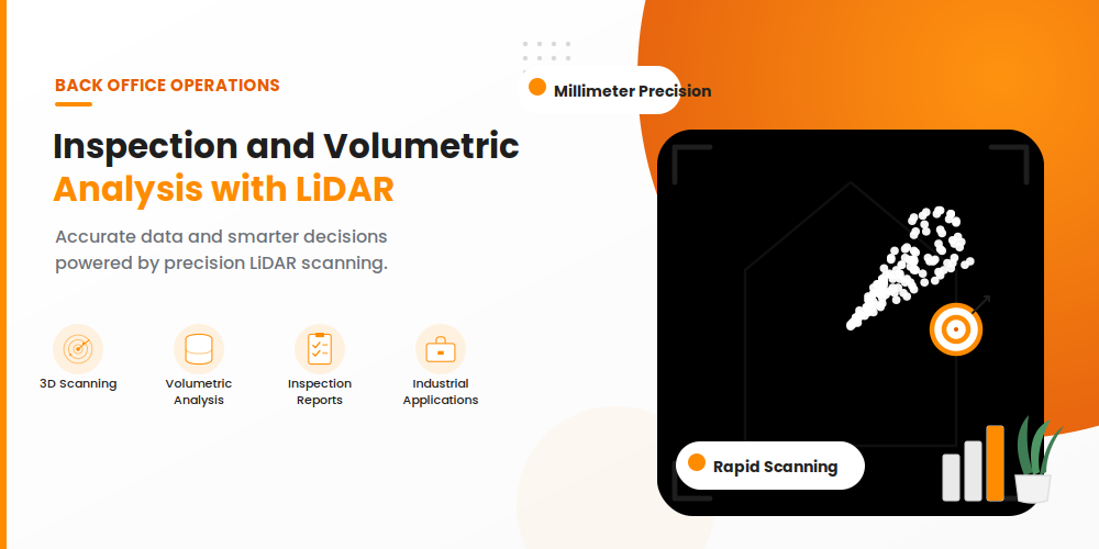
Traditional manual surveying and 2D visual assessments are inherently labor-intensive, hazardous, and susceptible to significant human error. TechQRT’s LiDAR-Powered Inspection and Volumetric Analysis services leverage advanced Light Detection and Ranging (LiDAR) hardware alongside high-performance spatial computing to capture millimeter-accurate, 3D point-cloud data. By converting millions of laser time-of-flight measurements into detailed geometric models, we deliver actionable spatial intelligence for construction earthworks, mining stockpiles, industrial infrastructure, and structural asset monitoring.
Core Technical & Sensing Capabilities
- High-Density 3D Point Cloud Acquisition: Utilizing aerial (drone-mounted), terrestrial laser scanning (TLS), and mobile LiDAR systems to capture dense spatial geometry irrespective of ambient lighting, shadows, or surface texture.
- Centimeter-to-Millimeter Precision Modeling: Emitting high-frequency laser pulses to reconstruct watertight digital elevation models (DEM), digital surface models (DSM), and mesh representations of irregular physical structures.
- Algorithmic Volumetric Calculations: Programmatic volume measurement utilizing voxelization, triangulated irregular networks (TIN), and cut-and-fill surface comparisons to determine exact material capacities and earthwork movements with survey-grade precision.
- Structural Deformation & Deviation Analysis: Comparing real-world as-built point clouds against original BIM/CAD designs to detect surface settlement, wall tilting, beam deflections, crack propagation, and clearance encroachments.
- Time-Series Change Detection: Differential spatial comparisons across successive scan intervals to track quarry extraction rates, landfill capacity depletion, soil erosion, and construction progress milestones.
Key Industry Applications
- Mining, Quarries & Bulk Aggregates: Continuous stockpile measurement (coal, minerals, gravel, grain) for accurate inventory reconciliation, bulk auditing, and resource planning without interrupting active operations.
- Civil Infrastructure & Tunnel Clearance: Comprehensive clearance envelope profiling, lining defect extraction, structural deformation tracking, and as-built validation for highways, rail tunnels, and bridges.
- Industrial Facilities & Storage Tanks: Non-contact inspection of oil and gas storage tanks, silos, and industrial pressure vessels to evaluate shell verticality, floor settlement, corrosion deformation, and secondary containment capacity.
- Construction & Site Earthworks: Rapid site topography mapping, foundation cut-and-fill balancing, contractor billing validation, and excavation progress tracking.
- Utilities & Power Transmission Corridors: Vegetation encroachment monitoring, powerline sag calculation, and pylon structural integrity assessment over rugged, difficult-to-access terrain.
Enterprise Data Architecture & Analytical Roles
- Data Extraction & Filtering Pipelines: Powered by Python spatial libraries (Open3D, PDAL, Laspy) and automated statistical outlier filters to strip atmospheric noise, dust artifacts, and vegetation cover, isolating pure bare-earth ground models.
- BIM & GIS Interoperability: Exporting validated spatial data into industry-standard formats (LAS/LAZ, E57, OBJ, DXF) for seamless integration with Autodesk Revit, Civil 3D, ESRI ArcGIS, and digital twin environments.
- Cloud Visualization & Enterprise Dashboards: Developing interactive React.js web consoles that allow project engineers to perform cross-section profiling, distance measurements, and heat-map deviation inspections directly inside standard web browsers.
- ERP & Operational System Synchronization: Direct API integration feeding verified stockpile weights, volume metrics, and inventory valuations directly into centralized ERP backends (.NET Core, Python) to automate financial audits and supply chain reordering.
End-to-End Implementation Lifecycle
- Mission Scoping & Flight/Scan Planning: Establishing ground control point (GCP) networks, defining sensor trajectory paths, evaluating safety hazards, and selecting optimal scan resolution based on tolerance thresholds.
- Data Capture & Quality Assurance: Deploying certified LiDAR survey crews to execute systematic scans, ensuring complete surface coverage, overlap redundancy, and high signal-to-noise ratios across complex geometries.
- Point Cloud Processing & Registration: Aligning multi-station scans via iterative closest point (ICP) algorithms, removing extraneous dynamic objects (vehicles, machinery, personnel), and georeferencing to global/local coordinate systems.
- Surface Generation & Volumetric Computation: Generating optimized TIN surfaces or voxel grids, executing cut/fill comparisons against baseline topographies, and calculating net volumes and tonnage estimations based on material density parameters.
- Reporting & Digital Deliverables: Delivering comprehensive analytical dossiers, including color-coded deviation heatmaps, cross-sectional elevation profiles, contour maps, and formal volumetric compliance certificates.
By combining advanced LiDAR sensing with disciplined point-cloud analytics and enterprise software pipelines, TechQRT transforms hazardous, manual inspection routines into safe, scalable, and audit-ready spatial intelligence.